Wilson
Latitude:35.96622
Longitude:-82.60406
GPS location Date/Time:05/05/2012 21:32:32 EDT
Message:Having fun and staying safe.
Click the link below to see where I am located.
http://fms.ws/7oU6m/35.96622N/82.60406W
If the above link does not work, try this link:
http://maps.google.com/maps?f=q&hl=en&geocode=&q=35.96622,-82.60406&ll=35.96622,-82.60406&ie=UTF8&z=12&om=1
Wilson
You have received this message because Wilson has added you to their SPOT contact list.
Every day is an Adventure. Share Yours.
http://www.findmespot.com
Saturday, May 5, 2012

Friday, May 4, 2012
Check-in/OK message from Wilson SPOT Messenger
Wilson
Latitude:36.05645
Longitude:-82.65591
GPS location Date/Time:05/04/2012 19:41:09 EDT
Message:Having fun and staying safe.
Click the link below to see where I am located.
http://fms.ws/7nlcd/36.05645N/82.65591W
If the above link does not work, try this link:
http://maps.google.com/maps?f=q&hl=en&geocode=&q=36.05645,-82.65591&ll=36.05645,-82.65591&ie=UTF8&z=12&om=1
Wilson
You have received this message because Wilson has added you to their SPOT contact list.
Every day is an Adventure. Share Yours.
http://www.findmespot.com
Latitude:36.05645
Longitude:-82.65591
GPS location Date/Time:05/04/2012 19:41:09 EDT
Message:Having fun and staying safe.
Click the link below to see where I am located.
http://fms.ws/7nlcd/36.05645N/82.65591W
If the above link does not work, try this link:
http://maps.google.com/maps?f=q&hl=en&geocode=&q=36.05645,-82.65591&ll=36.05645,-82.65591&ie=UTF8&z=12&om=1
Wilson
You have received this message because Wilson has added you to their SPOT contact list.
Every day is an Adventure. Share Yours.
http://www.findmespot.com
Check-in/OK message from Wilson SPOT Messenger
Wilson
Latitude:35.95153
Longitude:-82.78873
GPS location Date/Time:05/04/2012 07:04:11 EDT
Message:Having fun and staying safe.
Click the link below to see where I am located.
http://fms.ws/7nKfd/35.95153N/82.78873W
If the above link does not work, try this link:
http://maps.google.com/maps?f=q&hl=en&geocode=&q=35.95153,-82.78873&ll=35.95153,-82.78873&ie=UTF8&z=12&om=1
Wilson
You have received this message because Wilson has added you to their SPOT contact list.
Every day is an Adventure. Share Yours.
http://www.findmespot.com
Latitude:35.95153
Longitude:-82.78873
GPS location Date/Time:05/04/2012 07:04:11 EDT
Message:Having fun and staying safe.
Click the link below to see where I am located.
http://fms.ws/7nKfd/35.95153N/82.78873W
If the above link does not work, try this link:
http://maps.google.com/maps?f=q&hl=en&geocode=&q=35.95153,-82.78873&ll=35.95153,-82.78873&ie=UTF8&z=12&om=1
Wilson
You have received this message because Wilson has added you to their SPOT contact list.
Every day is an Adventure. Share Yours.
http://www.findmespot.com
Wednesday, May 2, 2012
The Great Smoky Mountains National Park
 Day1: 4/20/2012 Leaving Fontana Dam
Day 2: It was a rainy tough hike to Derrick Knob Shelter. No pictures because the fog was thick and it was rainy, I just wasn't in a good mood so I rushed to the shelter mainly because my rain coat was defective. I did see a doe when I got to camp.
 |
| deer is on the right side of photo |
Day 4 (part 1): Very windy night, I woke up to this sight.
 |
| Double Spring Gap Shelter April 23, 2012 |


I was wearing every piece of clothing I owned when I took this photo. Even though my base layer was damp, I was still warm. Thank God for wool and thank you Mom for the Christmas presents. I took this photo because I had to stop for water. My water tube had frozen and I needed to get my nalgene bottle out of my pack to drink. The 2 minutes I stopped for water induced shaking from the cold.

Day 4 (part 2): I escaped into Gatlingburg, it was interesting, much warmer...shorts and T-shirts warm. That was a big change from the mountains. Also the town seemed a bit absurd picture below was just humorous. Walking down mainstreet was like walking down the midway of a carnival. Junk vendor stores, funnel cake and corn dog restaurants, some carnival games and even several building owned by Ripleys Believe it or Not. The whole town was just overboard and reminded me of a Carnival scene. I found out the overnight low in the park was 0 F, I was glad to be in town.

Day 6: Still rain/snow in the morning, no wind thank God. I hiked to Davenport Gap Shelter, a mere 1 mile from the end of the park. The weather improved as the elevation got lower and I was back in shorts and T-shirt by the end of the day and still sweating.

20 minutes on the Trail on 4/26/12 and I was out of the Park. I was never more happy to be out of the Smokies and have all that horrible weather behind me.
40 Minutes on the Trail on 4/26/12 and it promptly began to Downpour, Hail, Thunder, and Lightning
Hot Springs, NC
I've spent the last couple days in Hot Springs, NC. First waiting for a
replacement rain jacket (mine was defective and was absorbing water
instead of repelling it). Then waiting for friends to catch up. Last
night they did catch up and I figured I'd tell you all about the town
since I've been here so long.

 Town is very small, but very hiker friendly. Almost every store in town will hold packages for hikers so we can get our resupplies from home. Taken from just after the bridge you can almost see the end of town in this picture.
The French Broad river goes directly through town, as a result, several hikers have taken some Dollar General pool floats and some beer down the river to get out of the heat. Beer is very popular in town with hikers, lots of calories and long periods of exercise with no beer makes us all lightweights.
 This is the most recent picture of me, taken this morning. I'm growing a beard, but it's only 1 month so it is not that long. I was camping at the edge of town, but tonight I sleep in a bed!
 Hot Springs is a designated trail community, and we walk directly through town so the sidewalk has these AT markers set into it. So no white blazes in town.

 Town is very small, but very hiker friendly. Almost every store in town will hold packages for hikers so we can get our resupplies from home. Taken from just after the bridge you can almost see the end of town in this picture.
The French Broad river goes directly through town, as a result, several hikers have taken some Dollar General pool floats and some beer down the river to get out of the heat. Beer is very popular in town with hikers, lots of calories and long periods of exercise with no beer makes us all lightweights.


Tuesday, May 1, 2012
Unusual Sights on the Trail
Some things that are normal on the Trail are a little weird for normal society. These pictures can illustrate some of this sentiment.
 Thru-Hikers hanging out in a parking lot with strange amounts of clothing on (too little) because all their other clothes are being washed and gear spread out on the ground to dry. Also, drinking Beer at 10:30 in the morning BECAUSE it has 200 calories a bottle (and we don't have to hike anywhere). Also Below, is EVERYTHING Pesky and I own. All our gear was damp from rain so we laid it out in the sun to dry while we waited for GtutenPuff.

 Trail Magic!!! People set up along the trail and give hikers free food. These people are called trail angels. Above and Below was a foggy rainy day at Indian Grave Gap, where Moo and Gordo, our angels, set up camp for a week with a 10ft trailer of food feeding hikers.

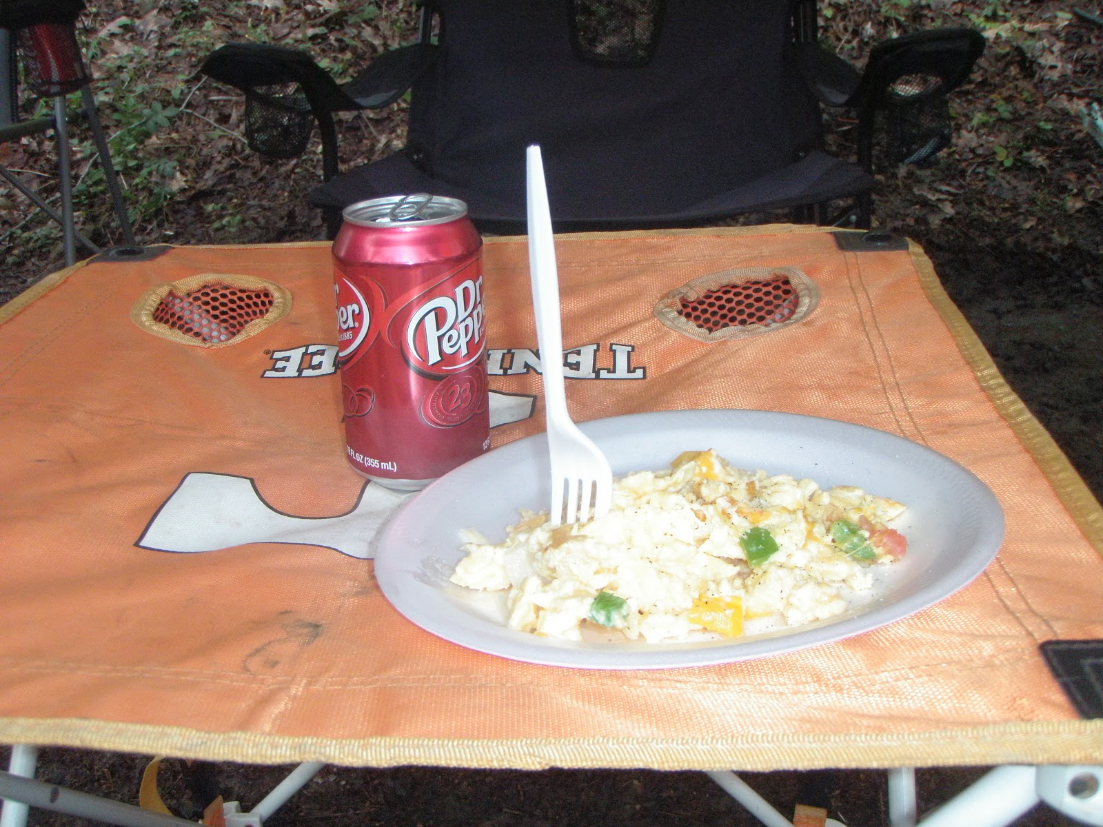
Not all Lady Vols fans are bad. As a UConn Alum and coming from a Lady Huskies family, I cringe to say that, but they gave me free food, so you understand.

 I spent Breakfast, Lunch, Dinner (Ham, on the Bone, candied yams, and creamed corn), and Breakfast hanging with these guys. Thanks for all the food! I was not going to make hotsprings for my maildrop, the Post Office closed at 10:30 on Sat.
 After dessert we even had a little musical performance, from Bueller, he carries a button box accordion in his front pack. He and I hiked together from Browns gap, (the above trail magic) into Hot Springs, N.C.


Not all Lady Vols fans are bad. As a UConn Alum and coming from a Lady Huskies family, I cringe to say that, but they gave me free food, so you understand.



Early on Pictures


 |
| Clockwise: Glutenpuff, PeskyBeaver, Daniel |
Subscribe to:
Posts (Atom)